Mapping studies of Bodrum's underwater ecosystem continue
Within the scope of 'Project Posidonia', supported by Muğla Metropolitan Municipality, scientific studies to protect seagrasses and underwater life in the Bodrum Peninsula and Gökova Bay continue.
Scientific studies carried out in the Bodrum Peninsula and Gökova Bay within the scope of "Project Posidonia", carried out with the support of Muğla Metropolitan Municipality, in cooperation with the Ekomiras Association and the French marine research organization Andromde Océanologie, and supported by the Turkish Gatemarine company, continue.
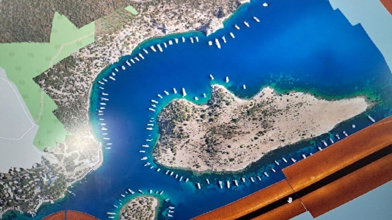
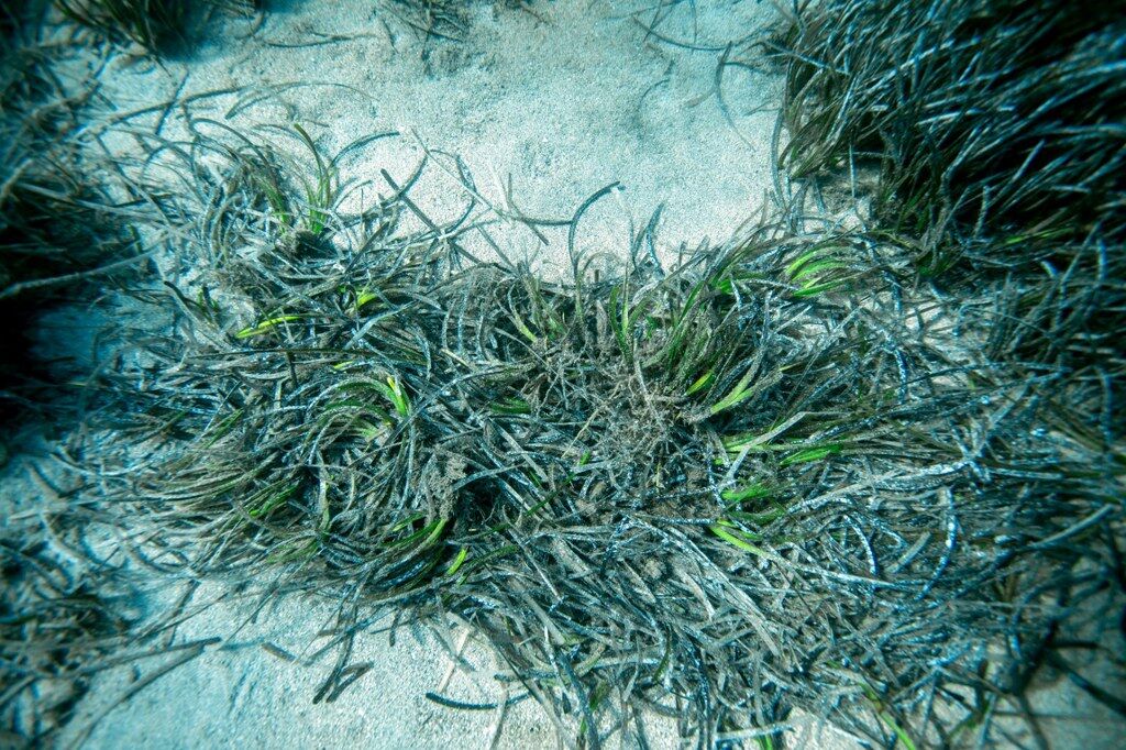
During field studies conducted by a research vessel, the coasts, islands, and bays of Bodrum are scanned with advanced sonar systems and the structure of the seabed and Posidonia Oceanica (seagrass) areas are mapped. The obtained data will be an important source for the protection and sustainable management of the region's underwater ecosystem.
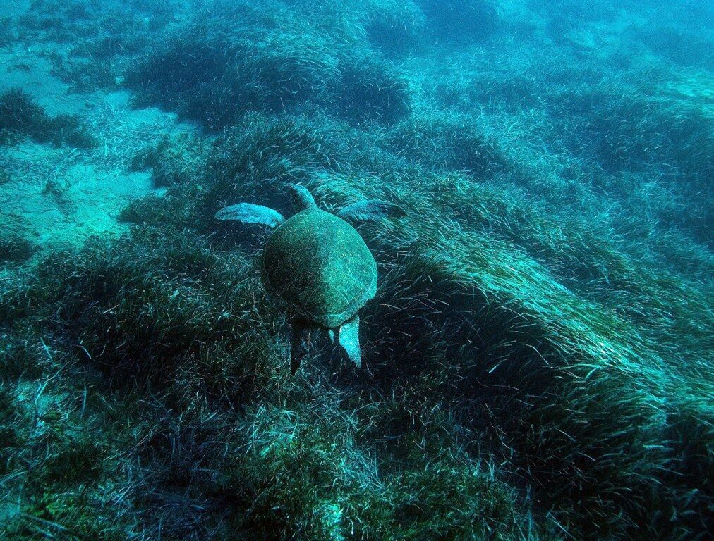
Within the scope of the studies, especially healthy seagrass areas extending between Akyarlar and Kos Island are being recorded, while in Gökova Bay, seagrasses, benthic habitats, and underwater cultural heritage are being evaluated together.
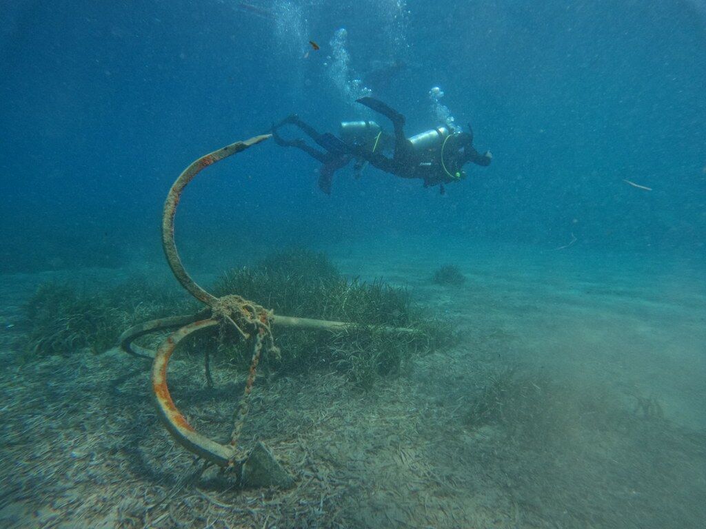
The data obtained from the research will be used in the future for the planning of marine protected areas, regulation of anchor use in sensitive regions, creation of ecological connectivity systems, and development of sustainable maritime practices.
Studies aimed at protecting marine life in Bodrum and Gökova, based on the scientific data obtained within the scope of Project Posidonia, supported by Muğla Metropolitan Municipality, will continue in the upcoming period.
Gökalp: "This system will help protect our seas"
Dr. Mert Gökalp, Founder of Ekomiras Association and Marine Biologist, stated that seagrasses are one of the most important ecosystems of the Mediterranean and expressed that the ongoing studies will make a significant contribution both to scientific research and to the protection of the seas. Gökalp said, "Within the scope of Project Posidonia, we have been mapping the shores of Bodrum for years. This sonar operation allowed us to include habitats between 10 and 65 meters depth in our study for the first time. Documenting the continuous, healthy Posidonia basin extending up to 40 meters between Akyarlar and Kos Island is extremely important both scientifically and for conservation strategy. On the other hand, what we saw in Northern Bodrum forces us to be cautious; the retreat of seagrass boundaries from 35 meters to 15 meters concretely shows how deeply cumulative human pressure has left marks. This data is not just an academic record but a decision support document that can be directly used in future declared marine protected areas, anchor prohibited zones, and coastal EIA processes."
President Aras: "We protect our seas with science"
President of the Coastal Municipalities Union and Muğla Metropolitan Municipality, Ahmet Aras, stated that protecting the seas is one of the most important legacies to be left for future generations and said the following:
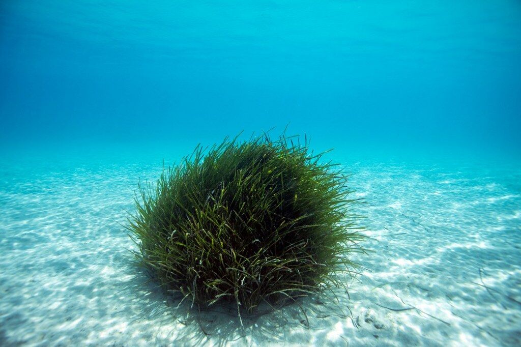
"Muğla is one of the world's most special geographies with its coasts and marine biodiversity. The way to protect this natural wealth is to act in the light of scientific data. The studies carried out within the scope of Project Posidonia, which we support, reveal the current state of our seas and will guide the protective steps we will take in the future. Seagrasses are not only habitats for marine life but also important carbon sinks in the fight against the climate crisis. As Muğla Metropolitan Municipality, we will continue to support studies that protect our seas, support sustainable maritime activities, and aim to pass our natural heritage to future generations."